
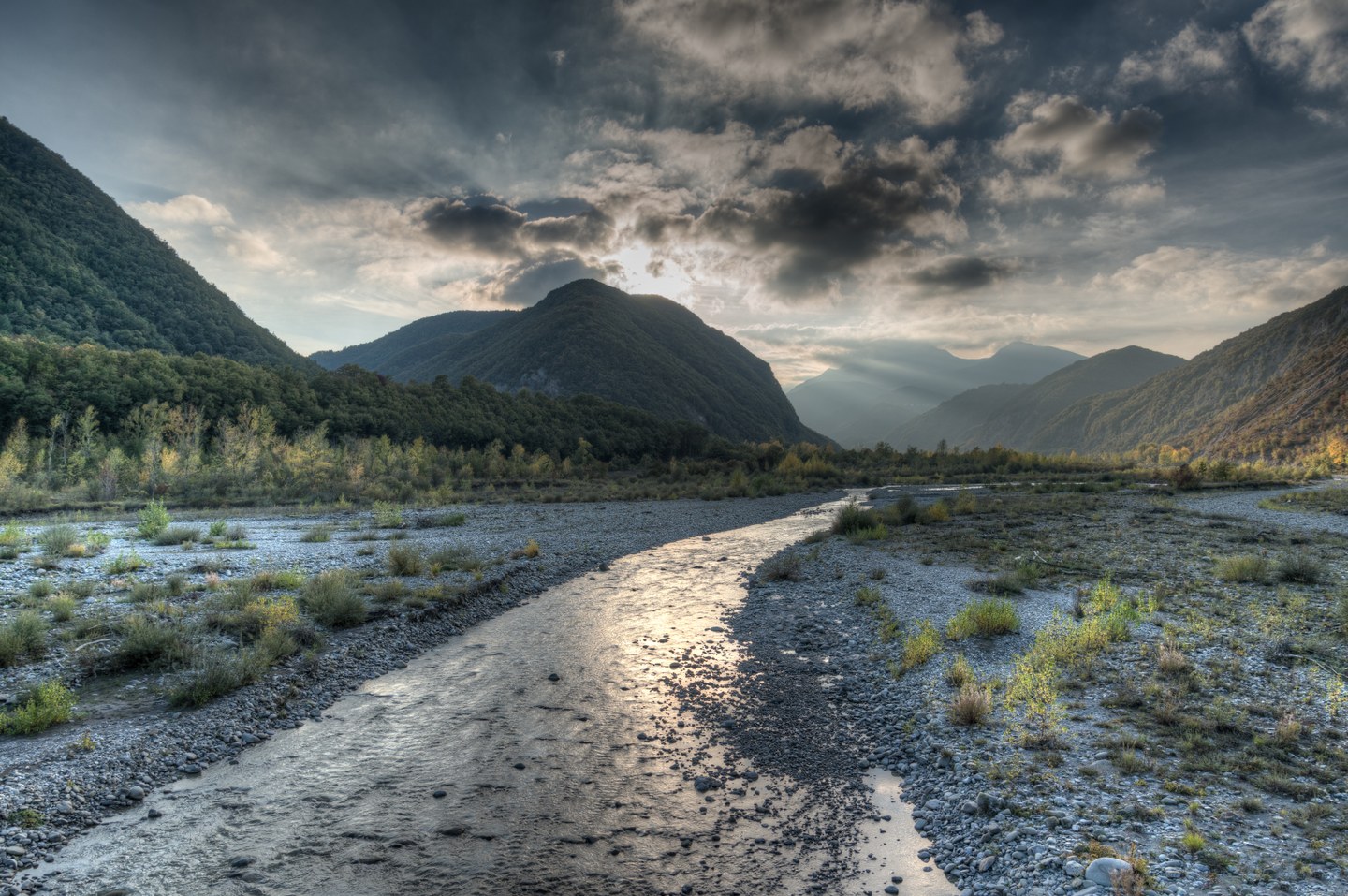
The first stage of the Secchia Cycle Route, which starts at Passo del Cerreto, the legendary Apennine pass between Emilia and Tuscany. Heading down along the upper reaches of the river, we pass through the villages of the municipality of Ventasso: Collagna, Acquabona, Nismozza, Busana, Cervarezza Terme and Costa dé Grassi, until we catch sight of the unmistakable silhouette of the Pietra di Bismantova, on whose slopes stands Castelnovo Monti, the main town of the Reggio Apennines.
Sito ufficiale di informazione turistica del Comune di Reggio Emilia
EN
Secchia River Cycle Trail
Starting from
Passo del Cerreto
Tour length
108 km
Duration
3 days
A cycle tour through the valleys of the Apennines, unspoilt nature and historical heritage, following the course of the Po’s second-largest tributary.
The Secchia River Cycle Trail is an extraordinary itinerary that allows you to explore our region by following the course of the river from its source at Passo del Cerreto down to the plain. The route caters to a range of needs: from the most experienced cycle tourists wishing to tackle the entire multi-day journey, to families and those who enjoy leisurely rides looking to immerse themselves in the natural beauty of the plain.
The route runs partly along its own dedicated path and partly along roads with very little traffic, marking the natural boundary between the provinces of Reggio Emilia and Modena.
From Passo del Cerreto to Rubiera
- Total length: 108 km
- Elevation gain: 1.470m
- Difficulty level: Medium-high (requierd a good level of fitness)
- Recommended duration: 3 days
Recommended stages:
Stage 1: from Passo del Cerreto to Castelnovo ne' Monti (39,4 km - Difficult)
Stage 2: From Castelnovo ne' Monti to Baiso (40,0 km - Difficult)
Stage 3: From Baiso to Rubiera (44,6 km - Moderate)
The complete route and daily stages are available on our Komoot profile.
2. The Nature Trail in the Plains (The Flood Retention Basins)
Once you reach the lowlands, the route becomes a cycle path suitable for everyone, ideal for a half-day outing or a Sunday family trip. The route winds its way around the ‘Cassa di Espansione del fiume Secchia’ Nature Reserve, a natural habitat of exceptional value.
Starting points: Rubiera town centre or Modena’s historic centre (from Piazza Grande, a UNESCO World Heritage Site).
Length: Varies from 25 to 38 km (depending on the detours chosen, e.g. towards Campogalliano and the Santuario della Sassola).
Level of difficulty: Low. The route within the quarries is flat and suitable for everyone (the sections through the town may present slight difficulties due to road traffic).
What to see along the route: the village of Rubiera
If you choose to start (or finish) your ride in Rubiera, the cycle route offers the chance to discover the town’s rich history and architecture. Not to be missed:
- The charming Old Town of Rubiera
- The ancient Ospitale, a historic place for passing pilgrims,
- The splendid Romanesque San Faustino Parish.
Stage 1 - From Passo del Cerreto to Castelnovo Monti
Stage 2 - From Castelnovo Monti to Baiso
The second stage of the Secchia Cycle Route, which continues along the river’s middle course through the Apennines. We descend from Castelnovo Monti along the Pianello road, the scene of some of the Giro d’Italia’s greatest challenges, with the last passage in 2025. We then reach the Pianello Bridge, where the view opens out onto the Triassic Gypsum Formations, designated a UNESCO Natural Heritage Site in 2023. We then follow the Gatta-Pianello cycle path, which lies entirely within the Tuscan-Emilian Apennine National Park, reaching the Fonti di Poiano, a spring of very salty karst water, prized for its thermal properties. We continue along the riverside roads, then carry on along the left bank of the Secchia, climbing over hills towards Monte Valestra, and from there reach Baiso.
Stage 3 - From Baiso to Rubiera
The third and final stage of the Secchia Cycle Route in the Reggio Emilia area. From Baiso, we descend further towards the Secchia valley, which is about to enter the Po Valley. A short distance from the village, we can admire the multicoloured badlands, formed by the varying soil compositions and the effects of the weather. We then descend all the way to the valley floor, where we pass through Castellarano, a fortified village and crossroads between the plain and the Apennine hills, with medieval buildings and sites of interest still perfectly intact. We then continue along the Secchia Cycle Route and enter the Po Valley proper, reaching the village of Salvaterra, where we ride through cultivated fields until we reach the elegant Corte Spalletti in San Donnino di Liguria, once the residence of the House of Savoy. We then arrive in Rubiera, where, a short distance from the centre, we find the entrance to the Secchia and Floodplain Park, a site shared with the municipality of Campogalliano (MO) and a wetland rich in flora and fauna, as well as a stopover for many migratory birds. The River Secchia then continues its course through the Bassa Modenese, where you can follow the cycle paths along the riverbanks to its confluence with the River Po in the municipality of San Benedetto Po (MN).


